What is Trans Dinarica?
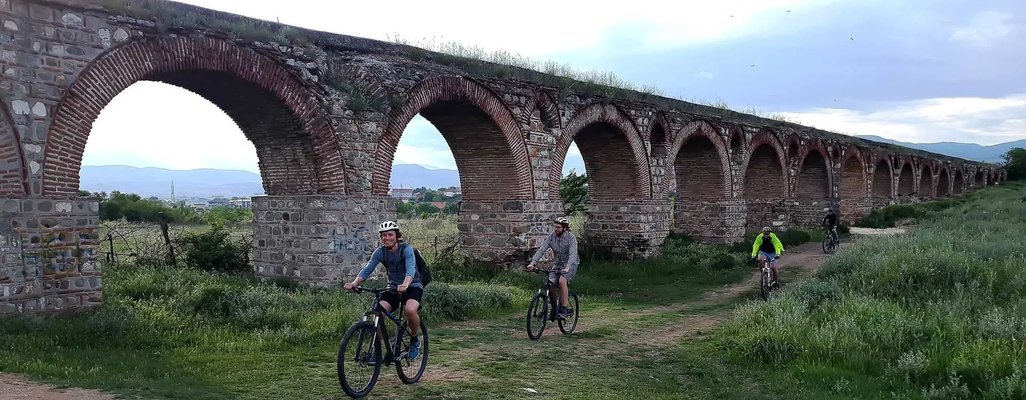
Trans Dinarica is a cycle route through Slovenia, Croatia, Bosnia and Herzegovina, Montenegro, Albania, Kosovo, Serbia and North Macedonia, about 5,500 km with all its stages. It opened officially in July 2024, and Lonely Planet named it in its Best in Travel 2024. It runs on quiet asphalt roads, gravel and forest tracks, and there are no signs on the ground: you follow it with GPS.
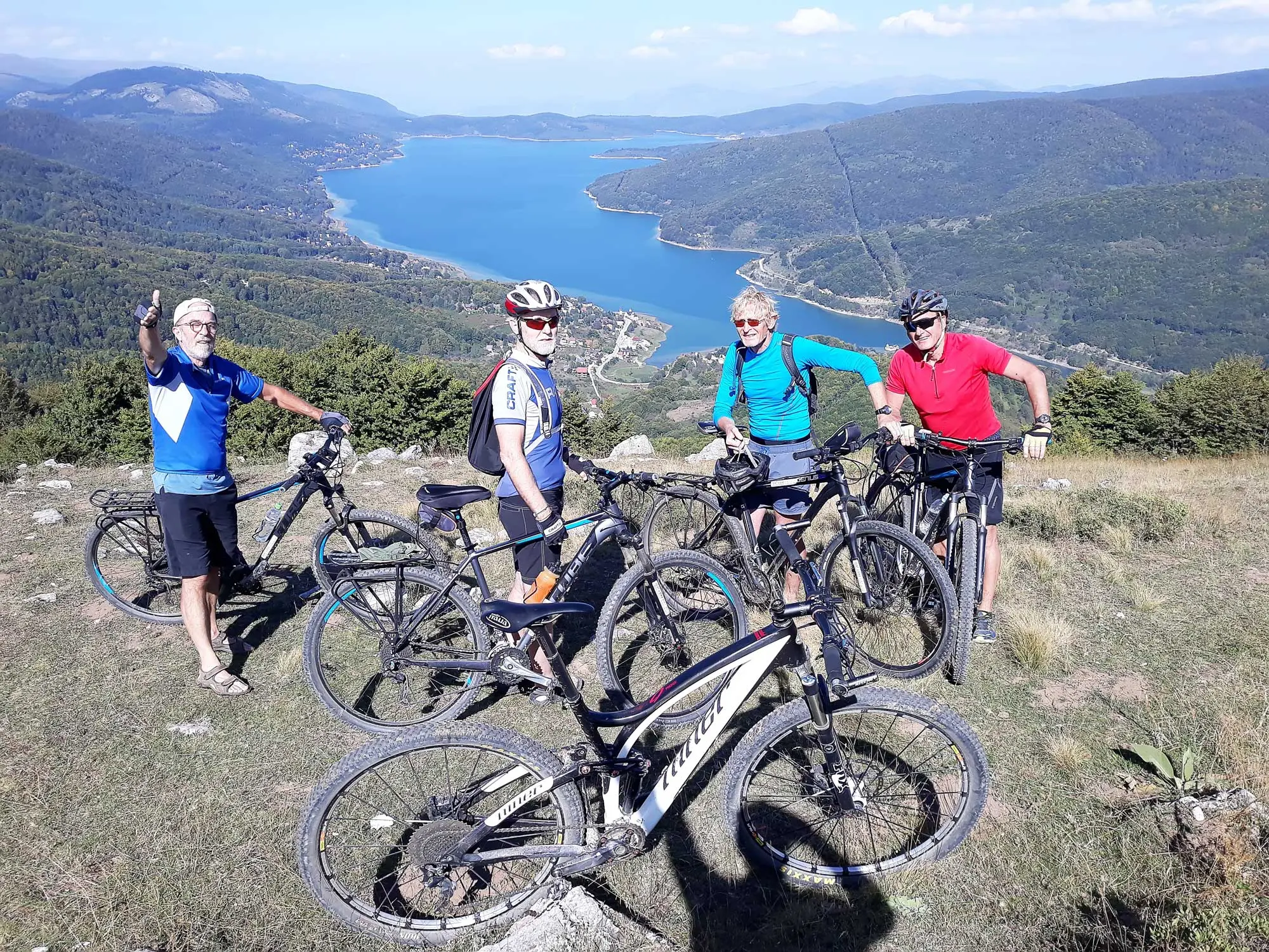
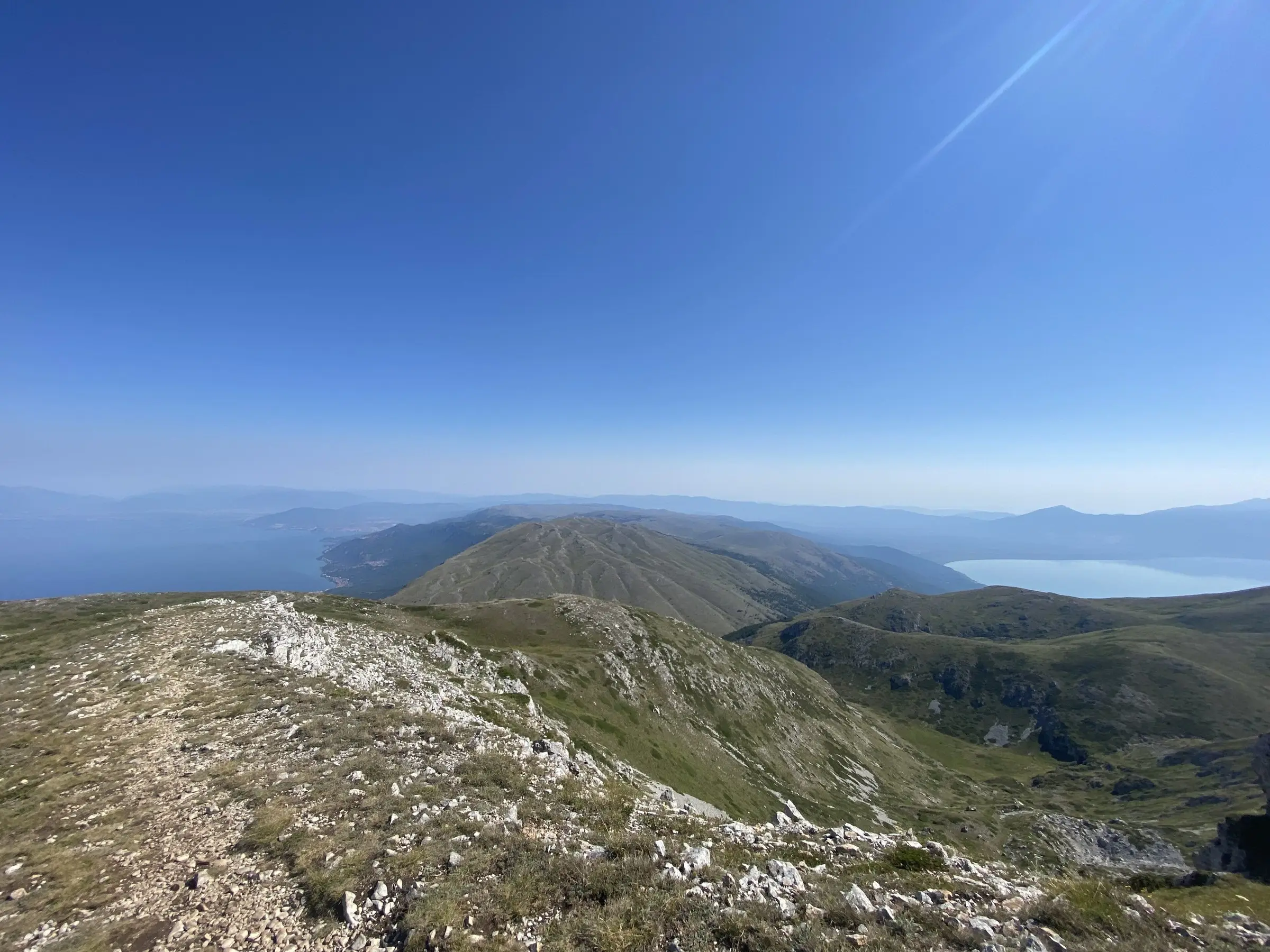
In North Macedonia the main route has 7 stages, 406 km and 6,340 m of climbing, 93% of it on asphalt. It comes from Albania to Lake Ohrid and leaves for Kosovo over Shar Mountain toward Brezovica. Three secondary routes add gravel and almost MTB terrain through Galicnik, Mavrovo and Popova Shapka.
The stages in North Macedonia
- 01
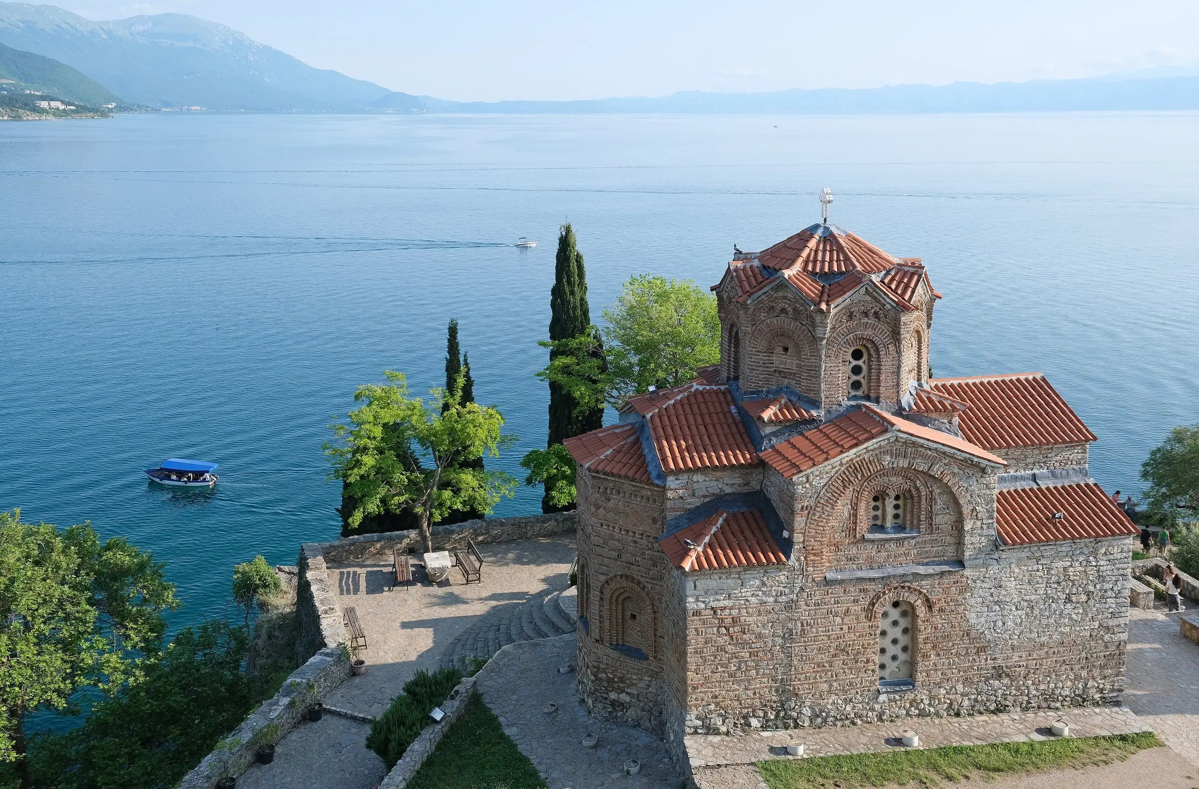
Ohrid to Sveti Naum
Along the shore of Lake Ohrid, a UNESCO World Heritage site, to the monastery of Sveti Naum.
- Distance: 31 km
- Climbing: 510 m
- 02
Sveti Naum to Bitola
From Lake Ohrid to Lake Prespa and on to Bitola, below Pelister National Park.
- Distance: 78 km
- Climbing: 1,290 m
- 03
Bitola to Krusevo
From Bitola and the ancient city of Heraclea Lyncestis up to Krusevo, the highest town in Macedonia, and its Ilinden monument.
- Distance: 51 km
- Climbing: 800 m
- 04
Krusevo to Kicevo
Over the hills from Krusevo down to Kicevo.
- Distance: 59 km
- Climbing: 780 m
- 05
Kicevo to Mavrovo
A long climb to Lake Mavrovo in Mavrovo National Park, partly on the busy E-65 road; we can drive you past that part.
- Distance: 63 km
- Climbing: 1,300 m
- 06
Mavrovo to Tetovo
Down from Mavrovo to Tetovo, with its Painted Mosque, the Arabati Baba Tekke and the fortress above the town.
- Distance: 55 km
- Climbing: 350 m
- 07
Tetovo to Brezovica
Over Shar Mountain into Kosovo; the border is at about km 28.
- Distance: 70 km
- Climbing: 1,300 m
Off the asphalt: the secondary routes
- 01
Kicevo to Galicnik and Mavrovo
Through the mountain village of Galicnik, about half of it on gravel.
- Distance: 68 km
- Climbing: 2,020 m
- 02
Mavrovo to Popova Shapka
From Lake Mavrovo up to the ski resort of Popova Shapka, 85% of it on gravel and dirt roads.
- Distance: 96 km
- Climbing: 2,210 m
- 03
Popova Shapka to Tetovo via Leshnica
Almost MTB terrain from Popova Shapka through Leshnica down to Tetovo.
- Distance: 47 km
Our Trans Dinarica tours
- 01
North Macedonia in 7 days
The whole main route from Ohrid to the Kosovo border, one stage a day, with a guide and our van for the luggage.
- Distance: 406 km
- Duration: 7 riding days
- 02
Mavrovo and Shar off-road
The three secondary routes through Galicnik, Mavrovo and Popova Shapka, on mountain bikes or e-MTBs, for riders who prefer gravel and trails to asphalt.
- Distance: 211 km
- Duration: 3 riding days
- 03
Lakes and monasteries
A shorter trip on the southern stages: from Ohrid along the lake to Sveti Naum, then over to Prespa and Bitola.
- Distance: 109 km
- Duration: 2 riding days
- 04
Further into the Balkans
We also plan longer trips with the stages in Albania and Kosovo, such as the Lake Circuit through Albania and North Macedonia (832 km) or the Dinarics and Sharr Circuit through Albania, North Macedonia and Kosovo (1,036 km).
- Countries: 2 or 3 countries
What we can arrange
- A guide who knows the route, which has no signs on the ground
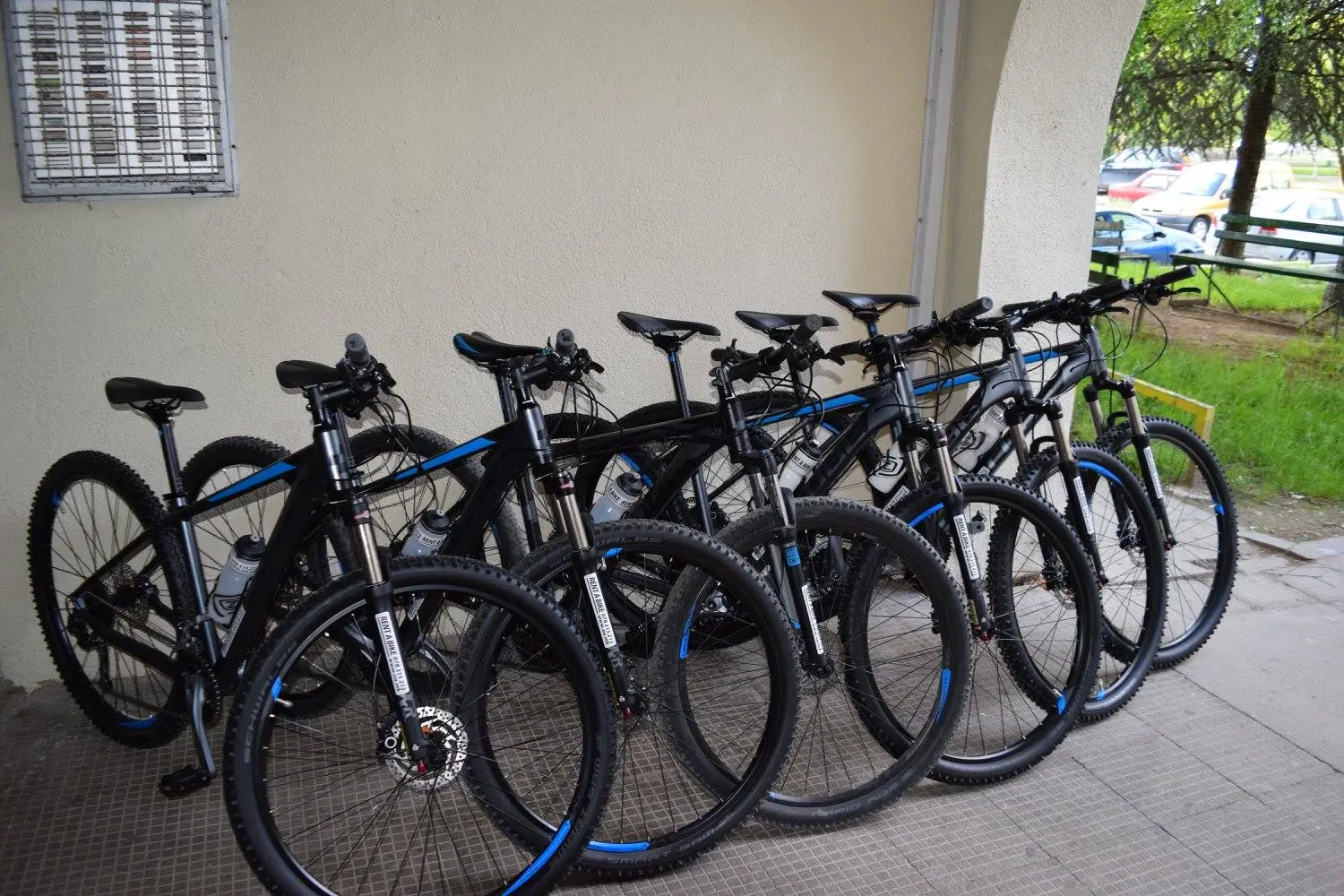
- Mountain bikes or Thomus e-MTBs, or bring your own bike
- Luggage transfers and a support van
- Hotels and guesthouses along the route
- Transfers from Skopje or Ohrid and back
- Charging stops planned for e-bikes
Good to know
The route is best ridden from May to September. An average stage is about 50 km with about 1,000 m of climbing, and some days have twice that. A gravel bike suits the main route best, and e-bikes work if the charging is planned; folding bikes, heavy downhill bikes and racing road bikes are not recommended.
Prefer to ride on your own?
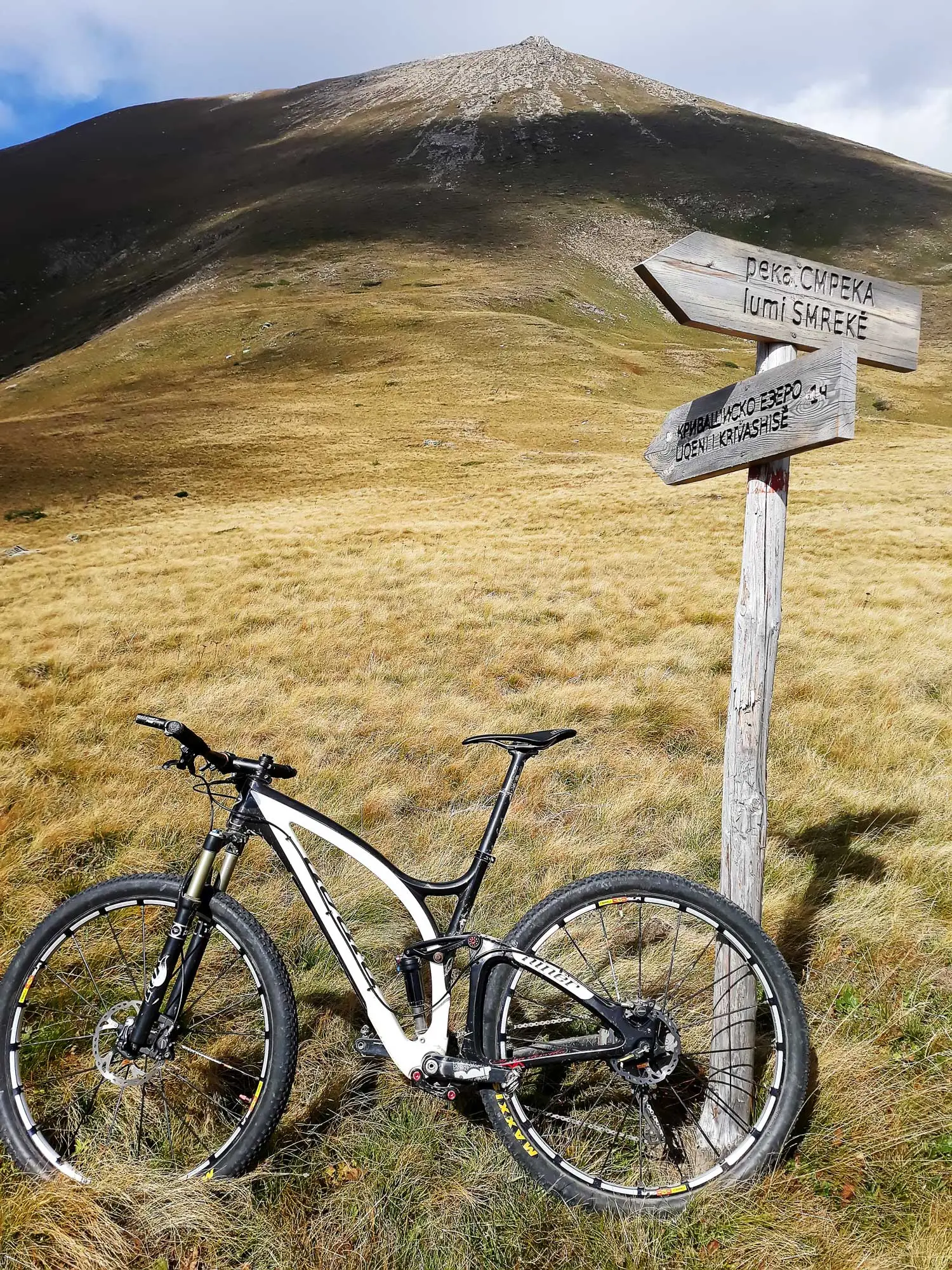
Rent a Thomus Lightrider e-MTB from 2,450 MKD (40 EUR) for half a day.
Questions and answers
How long is Trans Dinarica in North Macedonia?
The main route has 7 stages and 406 km with 6,340 m of climbing. With the secondary routes, the official navigation pack for North Macedonia covers 11 stages and 695 km.
What bike do I need for Trans Dinarica?
A gravel bike suits the main route best, and e-bikes work if you plan the charging. For the secondary routes a mountain bike is better. We rent mountain bikes and Thomus e-MTBs.
Is Trans Dinarica signposted?
No. The route exists only in digital form, so you ride it with a GPS track or with a guide who knows it.
Can I ride Trans Dinarica on an e-bike?
Yes. Our Thomus e-MTBs make the climbs easier, and we plan each day around the charging stops.
When is the best time to ride Trans Dinarica?
From May to September.
Where does Trans Dinarica enter and leave North Macedonia?
It comes from Albania to Lake Ohrid, either via Struga or from Korca through Prespa National Park to Sveti Naum, and it leaves for Kosovo over Shar Mountain toward Brezovica.
How do I book?
Send us your dates, the group size and which stages you would like to ride on WhatsApp or Viber at +389 78 315 213. We reply with the details and the price.